Starting and finishing in Newton Poppleford, a village whose claim to fame is the King Alfred daffodil, this walk takes you through apple orchards, enclosed fields and quiet lanes as you climb to reach the open expanses of Aylesbeare Common Nature Reserve. Here you may catch a glimpse of the iconic Dartford warbler or some of the other 140 species of bird or 30 species of butterfly that have been recorded in the area. You will then descend through broadleaved woodland to return via quiet lanes and footpaths.
Additional Information
Internationally important wildlife
The East Devon Pebblebed Heaths support over 3000 species of wildlife including many which are rare or threatened. Of the 140 bird species, the Dartford Warbler is one of the rarest and most iconic. Look out for it year round in areas of dense gorse. In early summer nightjars arrive from Africa. These nocturnal birds are more often heard than seen. Listen for their churring calls on summer evenings.
The Pebblebed Heaths also support a large number of insect species including 50 species of butterfly, 517 species of moth, 26 species of dragonfly and damselfly, 243 species of beetle, 94 species of wasp, bee and ant. Look out for the southern damselfly, one of the rarest species in the area, and the silver studded blue butterfly flying from June until August.
There are also 38 species of mammals on the heaths including 14 species of bat. Look out for evidence of roe deer, rabbit, badger and hazel dormouse.
Directions
1 - 5. Start from the free public car park in Newton Poppleford behind St Luke’s Church.
Take the footpath from the car park to the left of the church out to the main road.
2. Turn right and walk along the pavement to reach the traffic light controlled crossing. Cross the road and turn left along the pavement.
3. Take the first right into Meadow Drive.
4. At the T junction turn left and then after an electricity sub station turn right onto a footpath between houses.
5. At the next road, cross diagonally to your right onto a footpath. Follow the path uphill and through a kissing gate. You will eventually come out in an orchard. Follow the hedge on your right until you join the East Devon Way (EDW) at a junction of paths.
6 - 10. Turn left along the East Devon Way and follow the path uphill with a row of poplars on your right to a kissing gate.
Go through the gate and continue along the path beside the hedge on your left. Heading downhill to a gate out onto the road.
7. Go diagonally left across the road and take the road to Southerton. Follow the road until it bears sharply right.
8. Leave the East Devon Way and head straight on along a footpath past a house on the right. Go straight on passing some barns on your left.
9. Leave the track when it veers right and head straight on following the footpath alongside the hedge on your right.
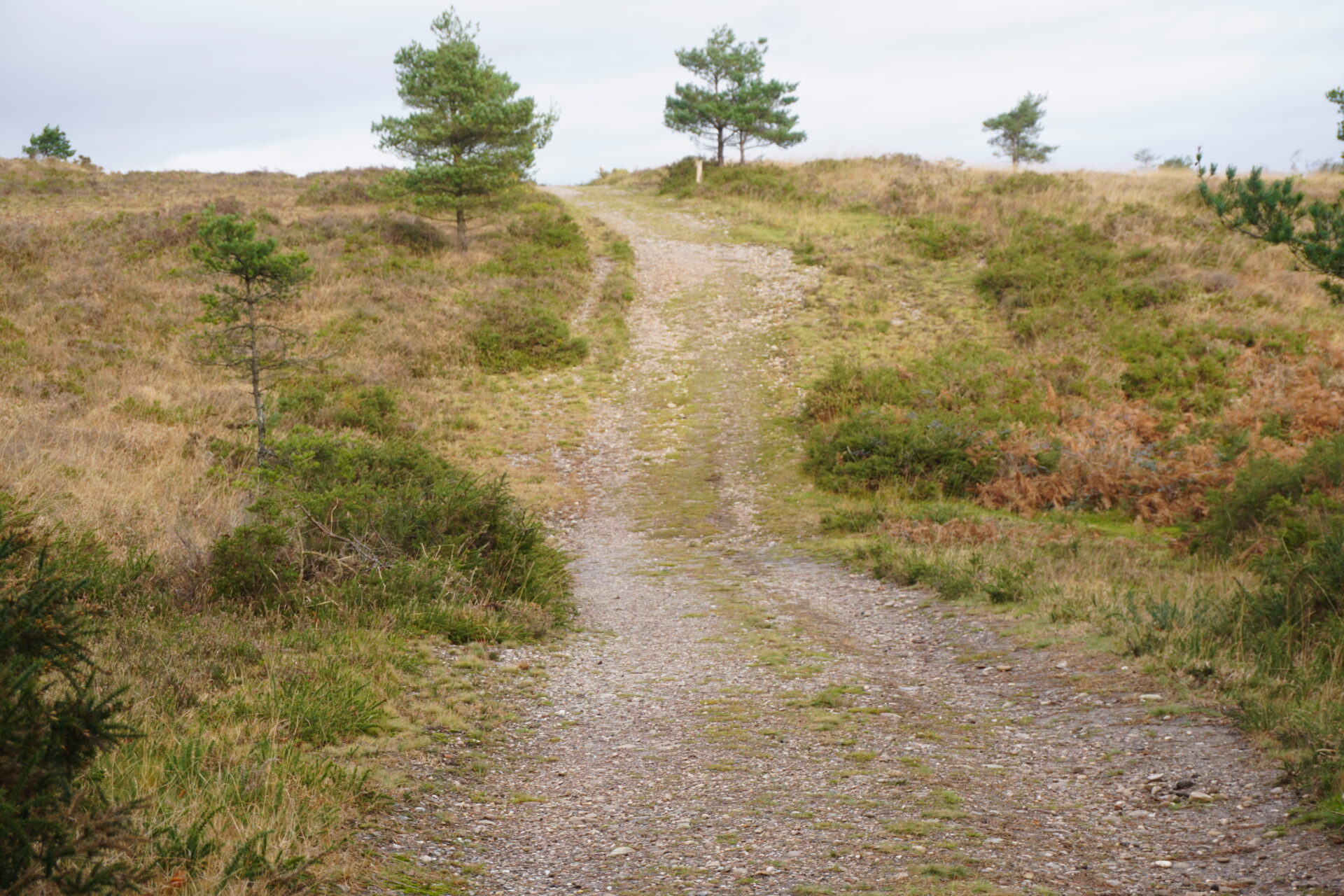
10. Go through a gate onto the common and follow the footpath up through the trees bearing right at the first path junction and right again at the next path junction.
11 - 15. When you emerge from the trees, turn right and follow the EDW as it swings left and then right to a gate off the common.
12. Go through the gate and follow the track ahead, bearing left along it and passing a house on your right. Continue along the track ignoring the first side turning on the left to find a footpath on your left.
13. Turn left along the footpath going though a gate and following a track through trees and alongside a fenceline on your right. Head downhill to a stream.
14. Cross the stream via a footbridge (there is also a ford). Bear right along the path which becomes a stony track uphill to a gate. Go through the gate and join the surfaced lane. Follow the lane uphill passing through another gate alongside a cattle grid.
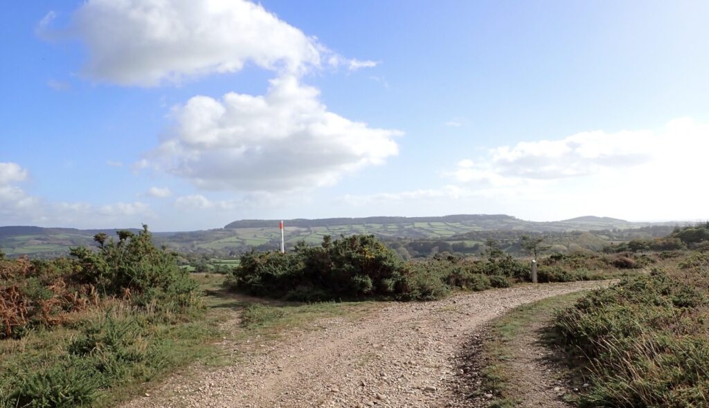
15. Continue along the lane until you reach a cross of tracks at the top of the hill.
16 - 20 This is the highest point on the walk and there are good views.
This is also the central point of the Aylesbeare and Harpford Commons area, well known for Dartford warblers and nightjars in season as well as many types of butterflies and plants. You may wish to continue along the surfaced lane for about 200 yards/183 metres to the RSPB notice board which often has brochures and details of events during the summer months.
17. Turn left onto a stony track (there is a substantial wooden bench on the right) and follow it downhill across the heath.
18. Where the track divides bear right towards some trees (there is a short, steep down and up on this section).
19. At the junction of paths on the edge of the trees turn left and follow a stony track downhill.
20. At the T-junction of paths turn left along a footpath through trees, crossing a wooden footbridge and bearing right to follow the footpath downhill staying parallel with the fence on your right. This area can be wet and muddy at times. The path eventually climbs slightly before flattening out
21 - 25. Where the path divides keep left and continue downhill, then left keep again before following the footpath around to the right.
Keep following the path with the fence on your right until you come to a stream with a ford and a wooden footbridge.
22. Cross the bridge and bear right along a footpath, again staying alongside a fence on your right. Follow the footpath uphill ignoring side turnings until the path bears around to the left and then right staying alongside the fence on your right.
23.When the path turns into a track at the entrance to Outer Hanger continue straight on along the track eventually passing out through a gate alongside a cattle grid to reach a minor road.
24.Turn left along the road and follow it downhill to a crossroad.
25. Go straight across into Back Lane (signed Harpford) and take the first footpath on your right.
26 - 28. Follow the footpath to a T-junction of footpaths and turn left.
27. Take the first right, walking over the footbridge and out to the main road.
28. There is no pavement here so cross the road, taking care, and turn left to walk in front of the Cannon Inn and up along a minor road in front of a row of cottages. At the end of the road follow the pavement and turn right by the old red phone box – that now contains books – to retrace your steps to the car park.
This route was originally developed by James Baldwin and checked by Ted Swan. It was reviewed and updated in 2025.