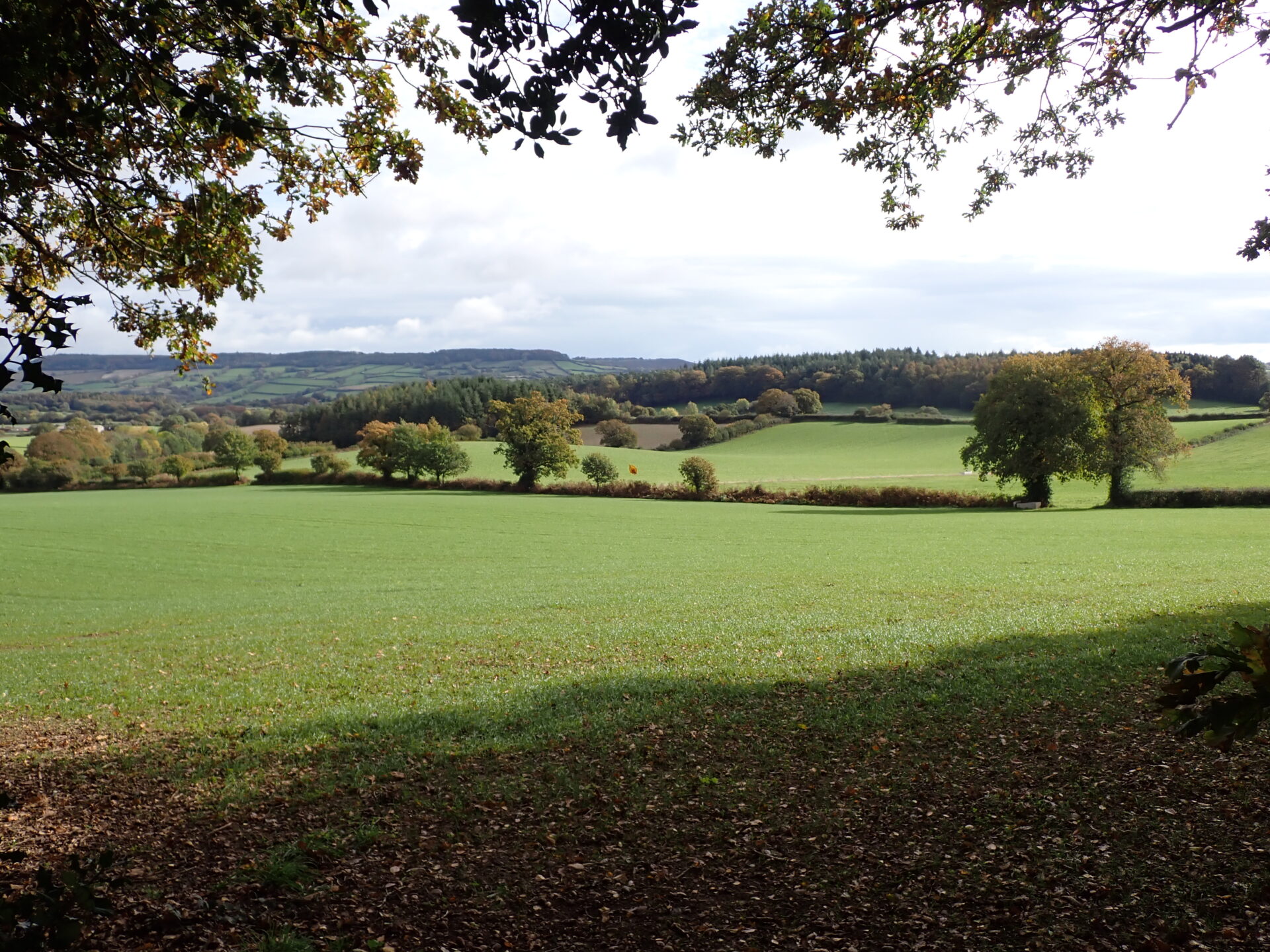
Starting and finishing at an Iron Age Hillfort, this route sweeps around Colaton Raleigh Common giving a real sense of the space and diversity of the Pebblebed Heaths.
Crossing stretches of open heathland before dipping down into oak woodland you may be lucky enough to hear the churring of a nightjar on a summer evening or catch a glimpse of the iconic Dartford Warbler perched on a gorse bush. Climbing back towards the highest point on your return to the car park there are far reaching views out towards the south coast.
Additional Information
A landscape of history
The heathland area was created by Neolithic farmers around 4000 BC when they started clearing the area of deciduous woodland to create pasture for their animals. Further clearance, grazing and burning over the centuries created the heathland.
Directions
1 - 5. From the car park facing Woodbury Castle earthworks turn right by the signs and follow the waymarked East Devon Way downhill
2. Where the track bears right, turn left along a path through the trees following the East Devon Way waymarks. The route keeps to the right of the earthworks.
3. On the far side of the trees turn left through a gateway in the bank and then immediately right to a T-junction of tracks. Turn left along a track, signed East Devon Way for approx 200 yards (183 metres).
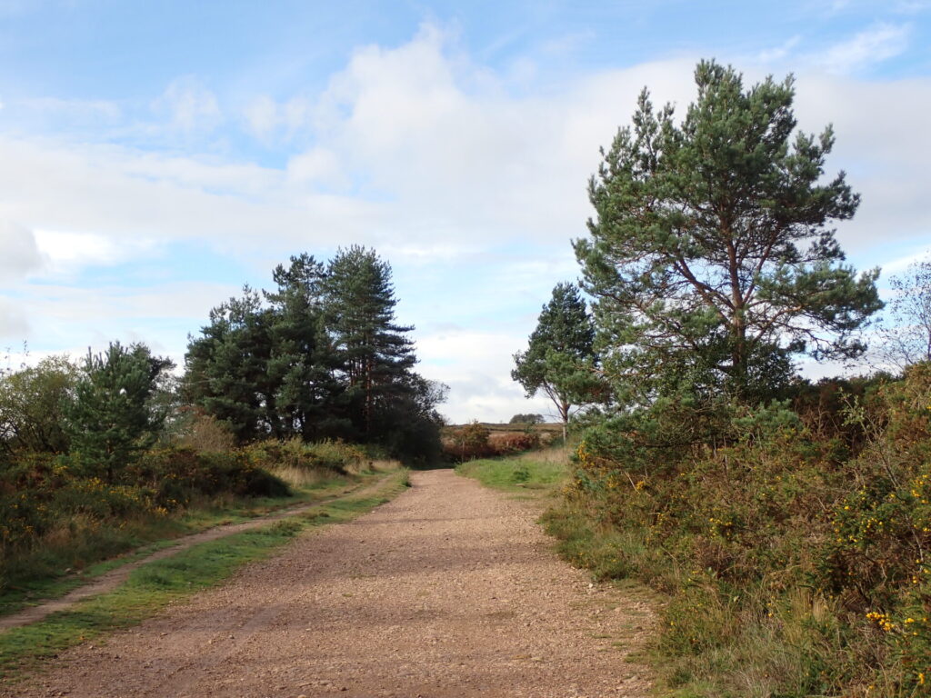
4. At the T-junction of tracks, follow the track around to the right across the open heath (East Devon Way).
5. Where the track divides after an area of pebbles keep left along the East Devon Way.
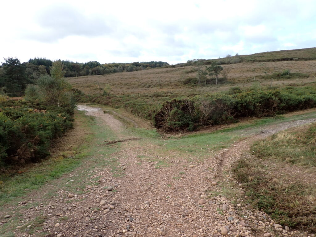
6 - 10.Where the track divides again, keep left leaving the East Devon Way and heading towards a ring of trees on the skyline.
7. When you reach the trees bear right to a path junction and then left with the trees on your left heading straight on along a grassy track and following it to The Warren car park.
8. Cross the car park and walk out under the metal barrier. Turn immediately right before the road and walk through the gap beside the second metal barrier. Where the track divides after the barrier keep left and follow a stony track downhill to trees.
9. Continue along track with the trees on your left until you come to a cross of tracks.
10. Go straight across and continue alongside woodland on your left ignoring a footpath on your left and continuing straight on to a junction of tracks.
11 - 15. Turn left rejoining the East Devon Way and following it downhill along a stony track.
12. When you reach the trees keep left following East Devon Way along a track. Continue downhill ignoring side turn until you come to a low metal barrier.
13. Turn right just before the barrier, leaving the East Devon Way and following a bridleway through trees with fields on your left. This can be narrow and rough in places with tree roots.
14. Where the path divides keep left on the bridleway eventually bearing right across a shallow ford and then around to the left following the bridleway.
15. At the T-junction of tracks turn right along a bridleway (signed) and continue gently uphill along a stony track following the hedge on your left.
16 - 20 Where the path divides keep right on a bridleway uphill.
After a short distance turn left along the bridleway back into the woods and then right alongside the hedge and along the edge of the heath to reach a shallow ford.
17. Cross the ford and when the path divides keep left along the bridleway beside the hedge, staying parallel with the hedge until you come to a bridleway T-junction.
18. Turn left down a stony track to a low metal barrier. Immediately after the barrier turn right past another metal barrier and follow the track uphill with the woods on your left.
19. When the trees end continue along the track across the heath dropping downhill to a junction. Keep left (straight on) heading on to cross a shallow ford and shortly afterwards a wider deeper ford.
20. Cross the ford and follow the rough path uphill through the trees (some steps and tree roots) to join a track. There is a handy wooden bench here. Turn right along the bridleway and at the junction stay on the right (lower) track towards the woods. Continue to follow the bridleway with the woods on your right.
21 - 23.At the T-junction of tracks turn right along the bridleway.
Continue along this stony track ignoring all side turnings and leaving the woodland behind to climb back towards Woodbury Castle.
22. This elevated stretch has excellent views of East Hill, the Otter Valley, Mutters Moor and Peak hill, near Sidmouth.
23. At the top of the hill where the track divides bear left to the multipath junction on the edge of the woods. Go straight across keeping alongside the woods on your right.
24. Follow the stony track back up to the car park ignoring all side turnings.
This route was originally developed by James Baldwin and checked by Ted Swan. It was reviewed and updated in 2025.