Starting and finishing in Knapp Copse Local Nature Reserve, this hilly route is almost entirely off road.
It follows footpaths and bridleways through a mosaic of species-rich grassland, scrub, springline mire, ancient woodland and between a network of hedgerows. In this peaceful area you may hear or see roe deer, catch sight of a buzzard or kestrel overhead or the pale ghostly shape of a barn owl.
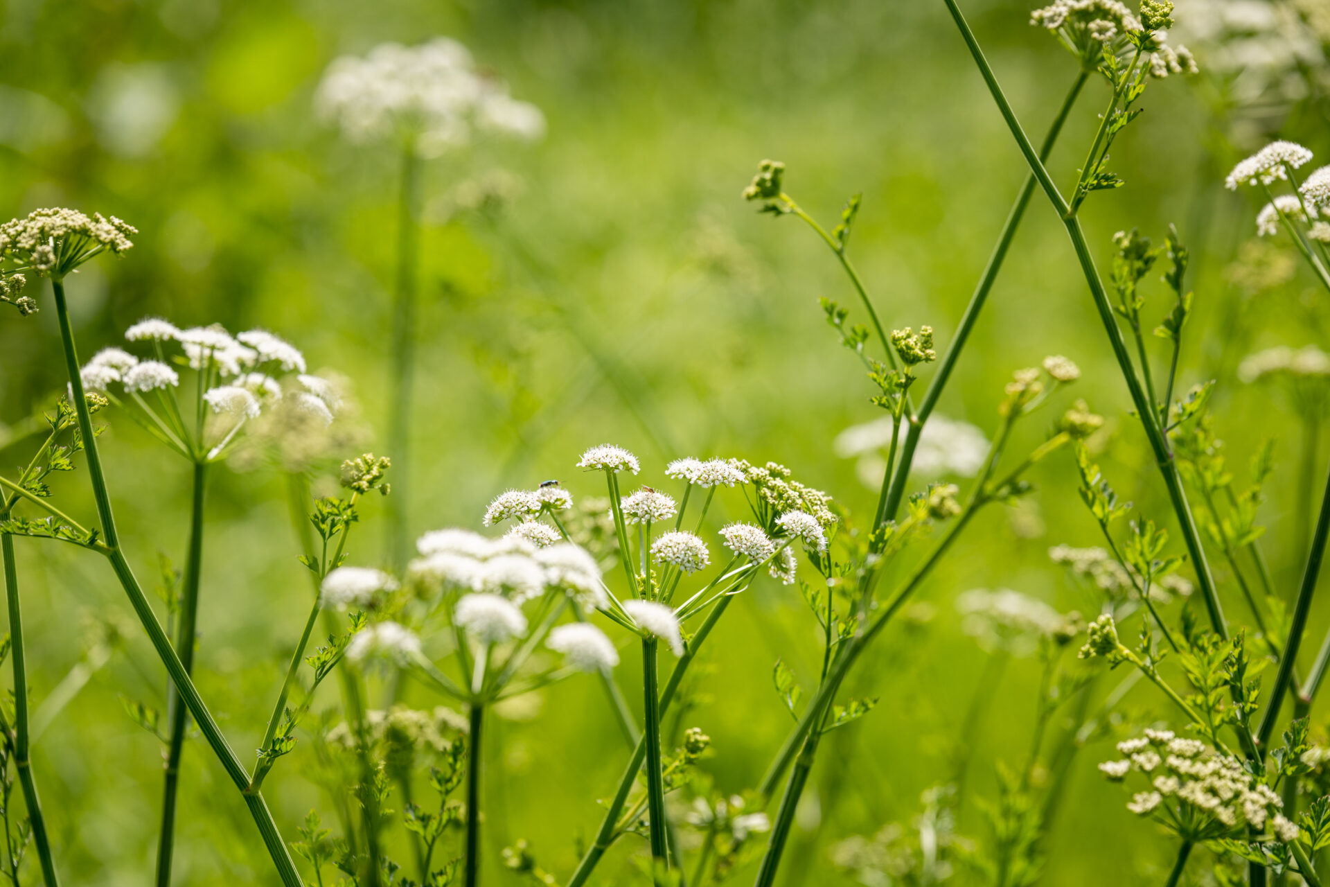
A wildlife rich area
Knapp Copse is home to a wide variety of wildlife including many birds. In summer look out for redstarts and marsh warblers and listen for the long trilling call of the grasshopper warbler. Year round you may see nuthatches, great spotted woodpeckers and, at dusk, tawny owls or a even a barn owl.
The site also has 13 species of bat, a thriving dormouse population and roe deer. In summer there is a wealth of wild flowers in the open meadows and it is an important place for orchids including early purple and southern marsh.
Additional Information
Looking out across Knapp Copse today it’s hard to believe that this peaceful area was once a busy landfill site. Tipping stopped in the early 1980s and the site was taken on by Devon County Council. The area has been restored and there are ongoing remedial measures in place to address potential pollution issues.
In 2015 it was awarded Dark Skies Discovery Status as a great place for stargazing with good sightlines and minimal light pollution.
Directions
1- 5. Go through the gate at the bottom of the car park and down a track.
After 109 yards/100 metres, turn left along a permissive path signed ‘Circular Walk 1.3miles’.
2. Go through a gate and follow the path waymarked with blue-topped posts through fields and e ventually down into woodland.
3.Go down through a gate and turn left into an open field before bearing diagonally downhill through the centre of the field to another gate onto a track at the bottom.
4. Turn left along the track and follow the East Devon Way through a gate into the Lower Knapp Farm holiday complex. Walk around to your left between the buildings to the concrete farm drive.
5. Walk down the drive to a road T-junction and turn right.
6- 10. Follow the road for 295 yards/270 metres, then turn left along the bridleway through Lower Mincombe Farm.
Going over a bridge and turning right uphill through a gate.
7. Follow the bridleway uphill bearing left and then right. It can be wet, muddy and rough in places. Go through the trees to emerge in an open field and continue to follow the obvious track uphill until it flattens out. Leaving the trees on your right head straight on towards a gate out onto a minor road.
8. Go through the gate and turn right along the road and then immediately after the house on the right turn right over a stile onto a footpath signed to Sidbury.
9. Follow the fenced footpath as it bears left through a gate into Mincombe Wood. Continue downhill until you come to a 2 in 1 gate. This path can be rough, stony and wet in places.
10. Go through the gate and head straight on along the top of a field with a bank on your left and cross a farm track.
11 - 15. Go through a gate and follow the path along the edge of the wood to find a footpath on your right.
12. Leave the East Devon Way and follow the footpath down through the woods. Keep left after a stile and follow the waymarks to a second stile. Immediately after the second stile turn right along a track.
13. Follow the track steeply downhill and through a metal field gate to a footbridge over the Roncombe Stream. Cross the stream and follow the path uphill and through a metal gate to a minor road. This section can be wet and very rough in places.
14. Turn right along the road and after 186 yard/170 metres turn left onto a footpath, climbing some steps to a stile. There is an option to shorten the route here by continuing along the road until you reach the turning to Lower Knapp Farm Holiday complex on your left. You can then retrace your steps to the car park.
15. Climb over the stile and follow the footpath alongside the hedge on your right, going through a wooden gate into a second field and continuing to follow the hedge on your right until you come to a field gate on your right into a woodland
16. Go through the gate and follow the footpath uphill through the woodland, eventually coming out in a field and heading diagonally left to a stile.
17. Go over the stile and turn right along a footpath through woodland and out into a field. Follow the hedge on your left towards a farm.
18. When you reach the boundary of the farmyard look for a footpath gate on your left. Go through and follow a narrow fenced path behind the farm buildings. You will pass between two buildings to reach a gate into the farmyard. Go through the gate and turn left through the yard to a farm track. This can be muddy at times.
19. Head straight on along the track. Just before you reach the main road, turn right along a bridleway that follows a tarmac drive.
20. When the drive swings right, go straight on along the bridleway to a gate ignoring the footpath on your left. Go through the gate into a field and follow the fence on your right, going out through a metal gate onto a track.
21 - 25. Turn left along the track and after 197 yards/180 metres turn right along a permissive path signed ‘Knapp Copse’.
22. Follow the fenced path along the edge of the field and go through a gate onto a steep open hillside.
23. Bear right following the path downhill and through a gate into a second field. Follow the path waymarked with blue-topped posts diagonally downhill to the left through a gap into a boggy area with wooden boardwalks.
24. Go through a kissing gate and follow a track downhill to a bridge over the stream.
25. Go over the bridge and at the T-juntion of tracks turn left rejoining the East Devon Way and following the track uphill through the woods.
26.After 787 yards/720 metres, near the top of the hill, turn right through a wooden gate and follow the broad track straight on back to the car park.
This route was originally developed by James Baldwin and checked by Ted Swan. It was reviewed and updated in 2025.