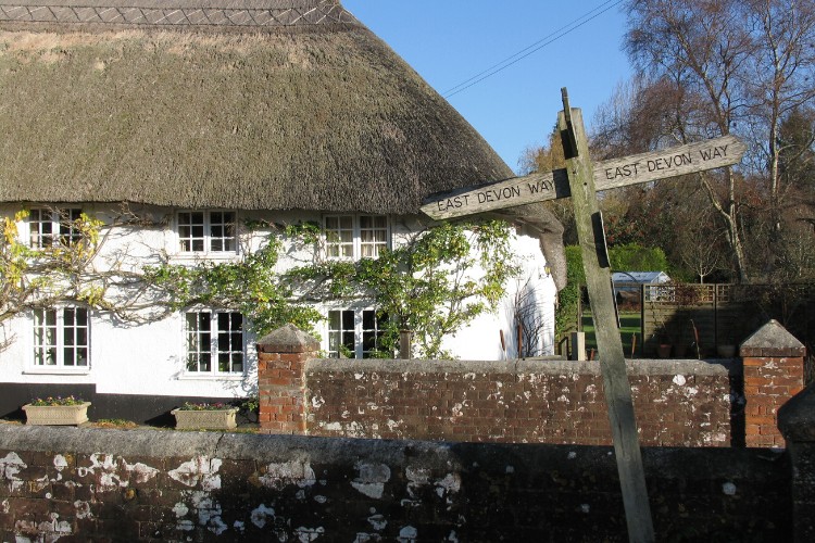
Circling the village of Sidbury following minor roads, tracks and footpaths through fields and woods this route gives you a wonderful sense of this hidden corner of East Devon.
It is hilly but has many fine views both of Sidbury and towards the sea at Sidmouth and beyond.
Additional Information
A landscape of history
Sidbury was mentioned in the Domesday Book and is said to be one of the oldest settlements in Devon with its Iron Age Fort at Sidbury Castle. It still has a working mill producing flour.
St Giles in the centre of the village is a Grade I listed church with a 7th century Saxon crypt under the chancel.
Important wildlife
Passing through fields and woods look out for buzzards overhead and a variety of smaller birds in the hedgerows and trees including long tailed tits, nuthatches and woodpeckers. In the woodlands look out for signs of deer.
Directions
1 - 5. From the public car park in Sidbury, turn right and then right again and walk out to the main road.
Turn right along the road making best use of the pavements to pass the Red Lion Inn and the church.
2. Take the footpath on the right signed ‘To White Cross’. Follow the lane between buildings and cross the drive to Sidbury Manor to reach a stony track.
3. Follow the track to a field and continue alongside the hedge on your right.
4. At the top corner of the field go through a gap on the right into another field and continue to follow the hedge on your left to a gate out onto a lane.
5. Turn left along the lane to a T-junction and turn left again. After 87 yards/80 metres turn right along a lane and follow it until the lane bears right.
6 - 10. Go straight on along the permissive footpath following it until you come to a gate out onto a minor road.
Go through the gate and turn left down the road to reach a main road.
7. Turn right along the main road taking care as there are no pavements. After 120 yards/110 metres turn left onto a footpath following it down steps, around to the left through a gate and over more steps to a kissing gate.
8. Go through the gate and follow the path to a footbridge and on to another kissing gate. Go through the gate and follow the path uphill and over more steps to cross a stile out onto a minor road.
9. Turn right along the road and at the next road junction turn right again.
10. At the next road junction (Buckley Cross) turn left along a no through road. Bear left at the next junction and where the lane turns to the right go straight on up a bridleway.
11 - 15. Follow the bridleway uphill through fields and into a wood.
Follow the waymarks on uphill through the trees to emerge at a track with a building on your right.
12. Turn left along the track passing some more buildings on your right.
13. At the cross of paths turn left initially on the level following the path around to the right and then left to descend steeply through the wood.
14. Leave the wood via a narrow footbridge and stile and head straight down the field to another stile. Cross the stile and follow the hedge on your right crossing a ditch to go through a gate on the right as the hedge starts to bear round to the left.
15. Go through the gate and bear left heading for the left hand end of the farm buildings where the path bears right down to a flight of steps and a kissing gate.
16 - 18 Go through the gate and turn right along the road and then take the first left opposite the farm and follow the road downhill towards Sidbury.
17. Go straight on over the bridge and up to the main road.
18. Turn right and, making best use of the pavements, retrace your steps past the Red Lion Inn and the church, turning left and then left again to reach the village car park.
This route was originally developed by James Baldwin and checked by Ted Swan. It was reviewed and updated in 2025.