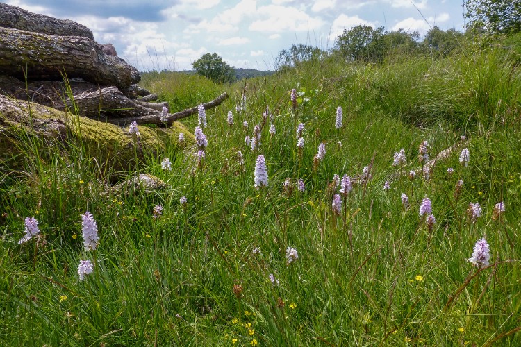
Enjoy a scenic three-mile walk through the ancient Pebblebed Heaths, formed over 240 million years ago.
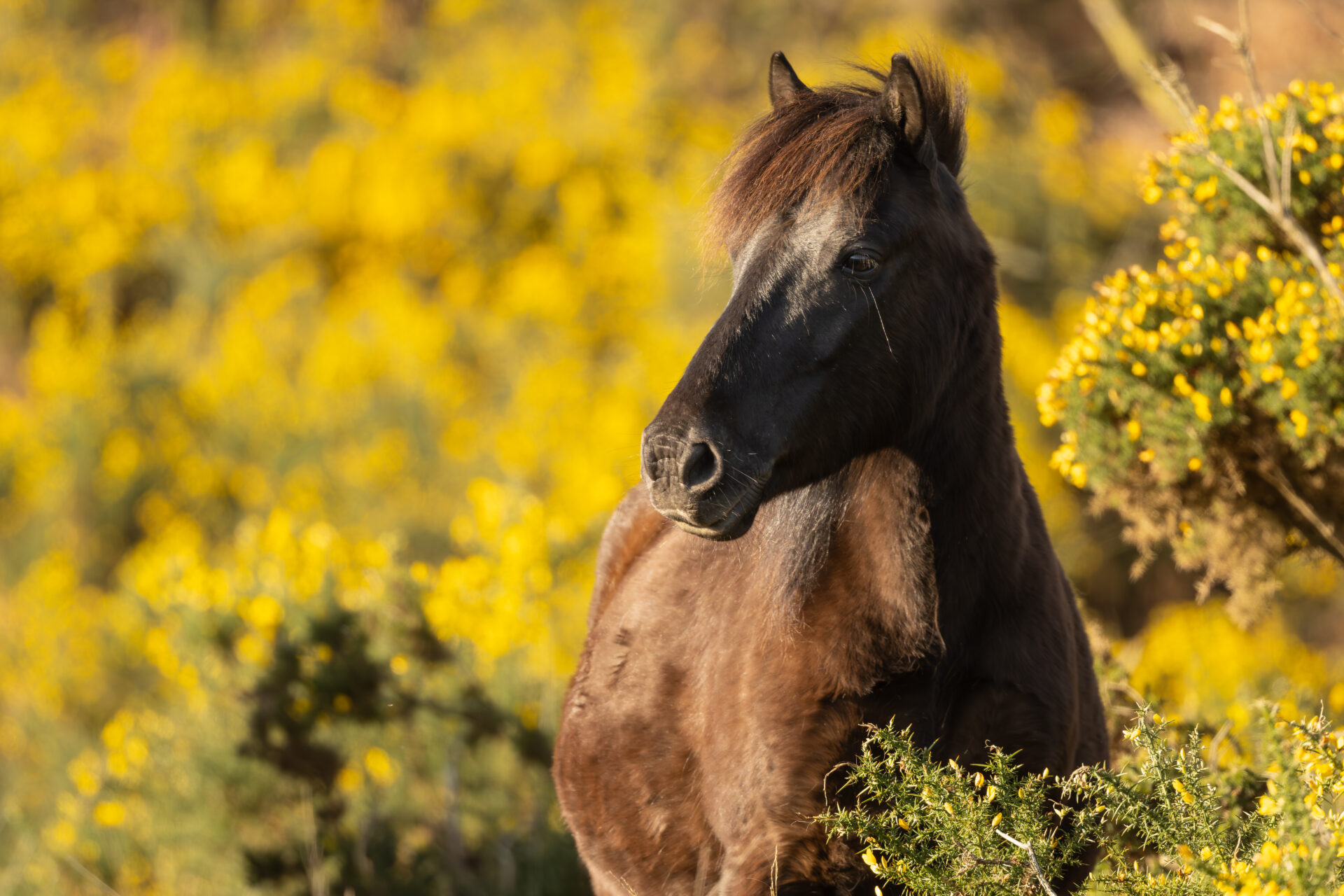
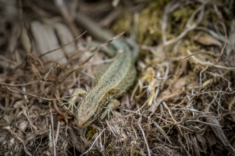
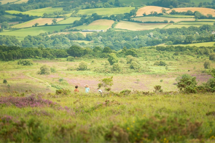
Start at Woodbury Castle and enjoy the peaceful surroundings as you make your way to Aylesbeare Common. The site’s large area and its varied soils and structure result in rich wildlife.
Additional Information
Additional Information Subtitle
![]()
The whole of the East Devon Way has been waymarked with the pink arrow and foxglove markers to help you find your way.
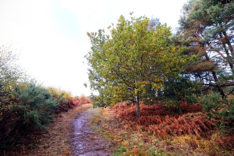
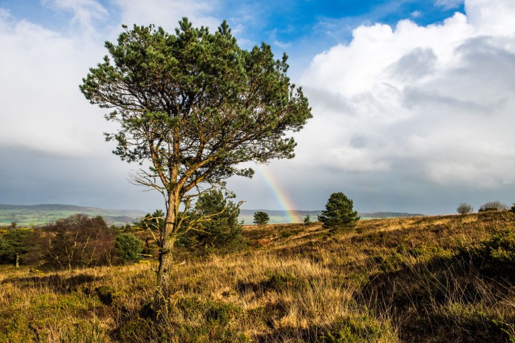
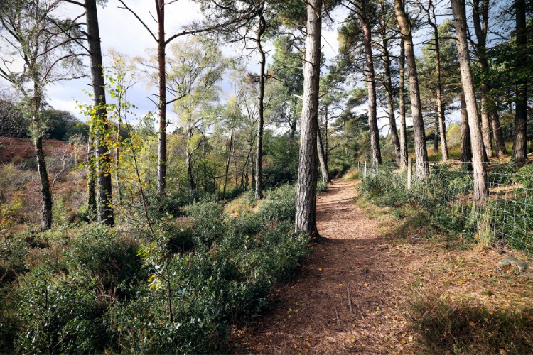
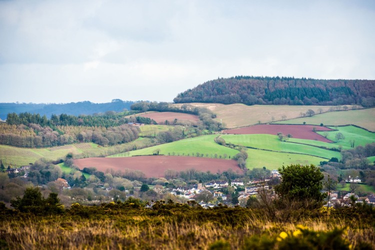
Gallery
Quick view route description:
1. Leave the car park...
From Exmouth estuary long stay car park (SY 999 812), keep the estuary on your left.
passing to the right of the large Pebblebed Heath interpretation board, and turn right, then left and left again.
This leads you in a big U shape around the ramparts; the final turn will take you up towards the road to join the path and then you turn right (N). Follow the wide old coach and horse track (NE), with pebbles underfoot.
2. Enjoy the wide-open space of the common...
follow the wide track (NE) for 2 miles, with gorse bushes on either side of the path.
After 1 mile the path borders a military training ground on the right, (marked Danger Area on the map), look out for warning flags when it is actively being used and keep to the paths.
3. Follow the path north-eastwards as it goes gently downhill into a small beech copse.
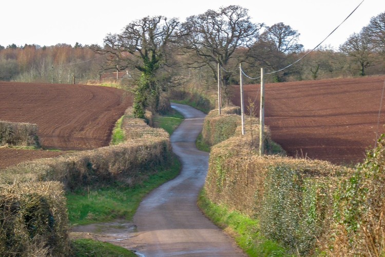
The track narrows as it winds down and has high banks on either side, just wide enough for a car. It leads down to a road at Hawkerland cross roads, with a bridge over a stream.
This section of the East Devon Way was once part of the old road along which the stage coach passed on its journey from Topsham to Newton Poppleford.
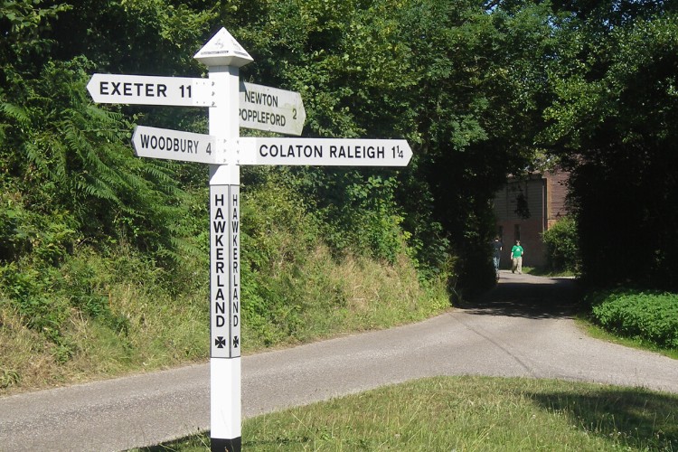
4. Turn left at Hawkerland cross roads (SY060 887) signposted Woodbury.
Walk along the road for about 50 yards, past a converted chapel (look through gates to your right) & a small old red brick barn on your left.
Opposite this barn turn right to go up the road towards a large white thatched house on the right.
5. At the top of the incline...
past the house, turn left, off the road, to follow the footpath through the wood (marked Moorish Cotley on the map), with beech, oak and gorse bushes.
Follow the track as it winds around, after about 100yds you will see wide open vistas as the wide ‘coach and horses’ track leads you up on to the common.
6. Follow the cart track, after 1/2 mile cross a bridleway and a footpath.
ou will soon see the A3052 up in front of you. Take the path on the right (E) up to the Hawkerland Hill car park (also known as Joney’s Cross)..
Explore: This is the end of stage 2. Across the A3052 Road is Ayelesbeare Common, an RSPB nature reserve and well worth exploring.
