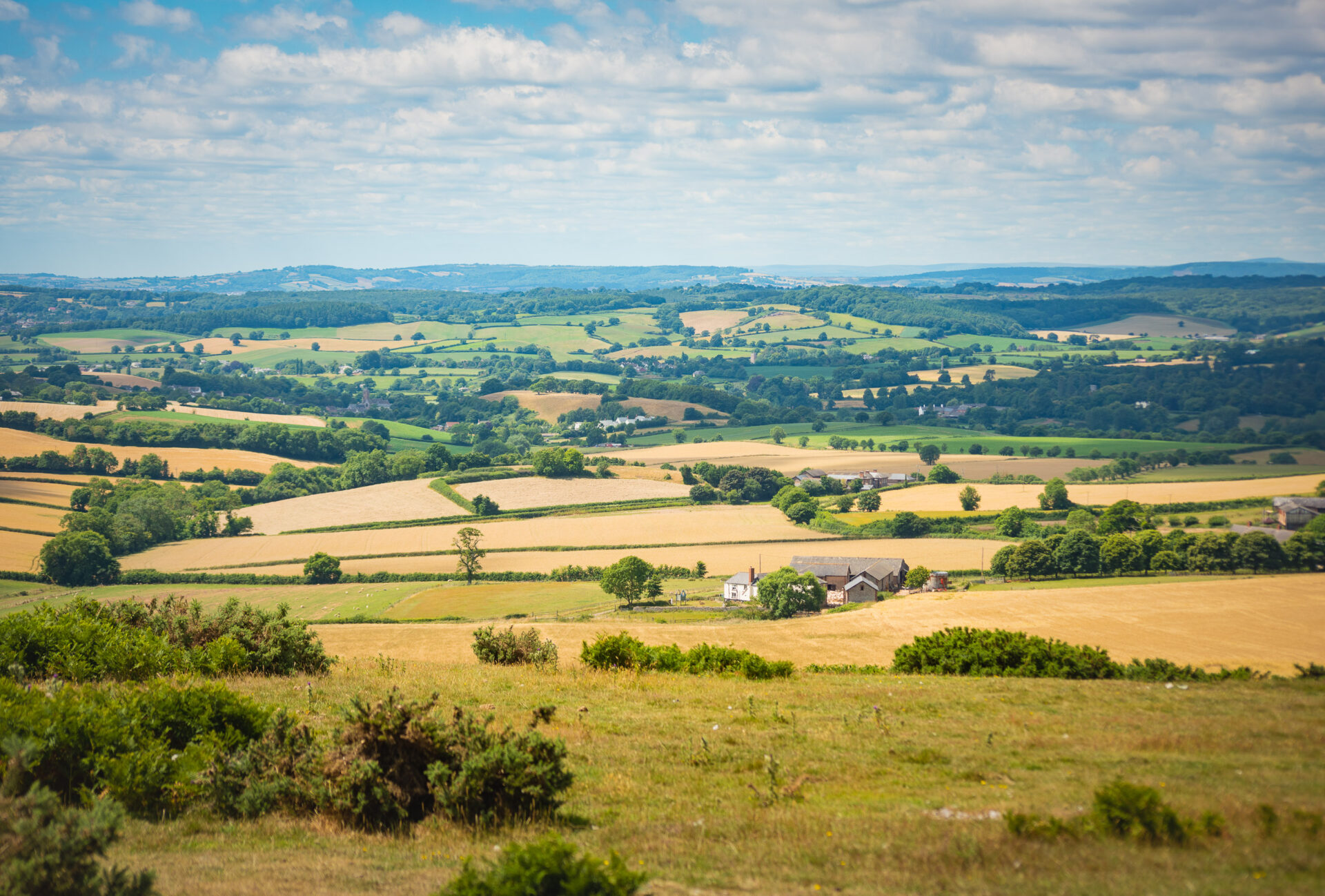
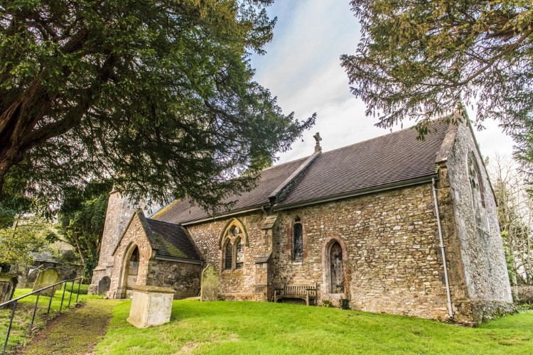
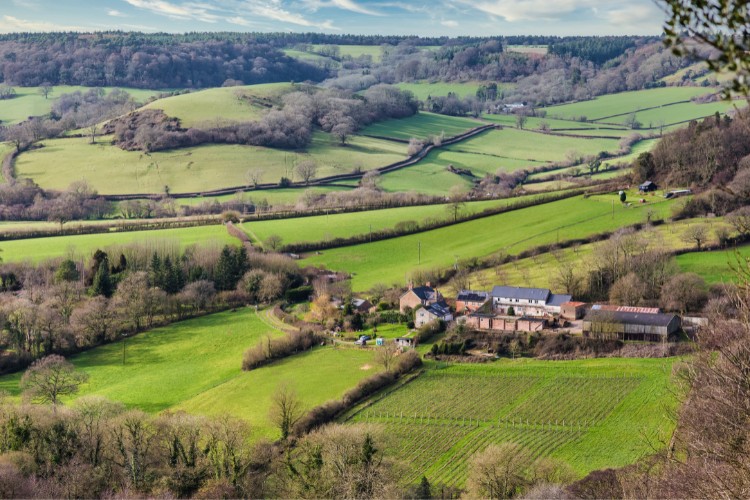
This walk starts from Church Green, a ‘hidden’ hamlet with a pretty C14th church and ancient yew tree, set a short distance away from the main village of Farway.
Tracing the edges of Farway Wood, the route then passes through Knapp Copse Local Nature Reserve and further conservation woodland before crossing over the River Sid.
Additional Information
Additional Information Subtitle
![]()
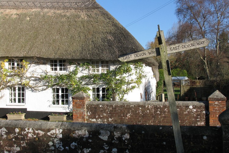
The whole of the East Devon Way has been waymarked with the foxglove/pink arrow markers to help you find your way.
Gallery
Quick view route description:
1. Parking at Church Green Village is informal on the lane near the church.
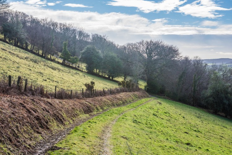
Starting with the Church on your right follow the road uphill, steeply at times, for 3/4 mile. To your left are fine views over the upper Coly Valley, Continue until you reach a T-junction.
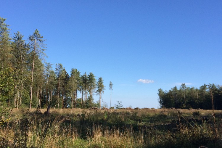
2. Taking a slight left, cross over the T-junction, marked Money Acre Cross on the map, into Farway Forestry Commission woodland and follow the bridleway.
After 200 yards, at a large vehicle turning circle, take the lesser forked track to the right. After a further 200 yards, turn left along the wide track. On your right will be fields and, on your left, woodland. After 120 yards take path through a tree strip to swing 90 degrees right.
At gate by Access Land turn left to reach the Ottery St Mary to Beer road (SY154 958) and cross with care. Opposite is a Keeper’s Cottage. Continue by walking to the right of the cottage, then through a farmyard.
3. Once through the farmyard turn left down the public bridleway, a tarmac lane, into Knapp Copse Nature Reserve.
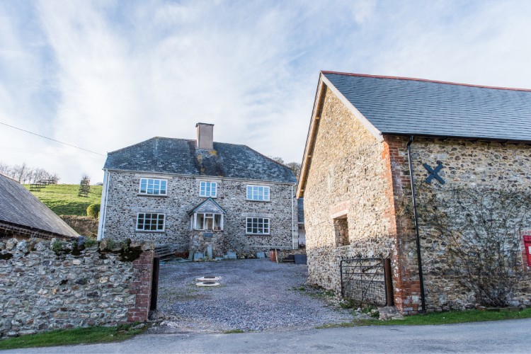
You will shortly pass the babbling Roncombe Stream on your right and the lane surface becomes a stony path. Keep ahead through a newly-planted orchard protected by tree pens. Pass signs for permissive paths on your right and then left. Pass a public footpath sign on your right, and the bridleway eventually swings right to reach a gate into Lower Knapp Farm holiday complex.
Go through the gate, then left on the gravel path between buildings, keeping left past the car park to join the access drive. Follow this drive for nearly ½ mile, with Roncombe Stream at first on your left, then on your right, to reach Roncombe Lane (SY158 943) where you turn right.
4. Turn left through Lower Mincombe Farm...
over the stream and turn right. Go through the gate and up the track, which then swings left steeply uphill on a broad and often muddy swathe.
At the top, go right, still climbing, to reach a field and go diagonally across it. Keep the copse on your right as you head towards the gate on to a lane. Turn right along the lane for 150 yards and then turn right again over a stile, immediately after Oaklands Farmhouse, where you will see a public footpath sign to Sidbury.
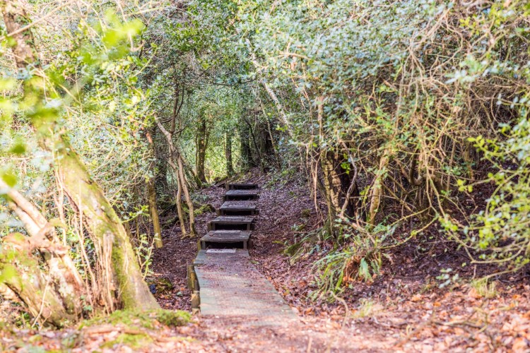
Walk along the woodland track leading downhill, then along the top edge of an open field. At the end of this field, take the centre path as it levels out. This leads to conservation woodland, which can be quite boggy but has a boardwalk through the muddiest parts.
Once out of the woodland go straight across the field keeping to the left of the isolated trees and go though the metal gate into another wooded area.
After passing through a second gate, look right to see the Old Dairy House with its Victorian decorative bargeboards and, on the distant hillside behind, Sidbury Manor. Soon after you reach a lane, with Hatway Cottage opposite with its wide concrete driveway (SY151 920), turn left.
5. Follow the lane steeply uphill for ¼ mile.
Near the top of the hill look for the public bridleway on your right.
Follow this track for ¾ mile keeping left where a private track forks right, eventually entering a pine plantation. When you reach a wider vehicle turning area, look out for the signpost on the left directing you to the public footpath on your right.
6.Turn right and follow the signs through the wood...
soon taking a right turn then a left at SY148 914. The path now descends steeply through Buckley Plantation.
Go carefully on the loose earth down this steep slope. You will see glimpses of Sidbury with its church below you. When you reach the field, walk straight ahead towards the church, cross a stile, and through a gate, then turn left keeping to the left of the farm buildings.
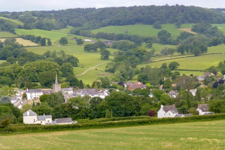
Go though the kissing gate and turn right on to the lane past Long Barn House. Turn immediately left down a lane to the village, cross the River Sid by the red brick bridge, into the lovely village of Sidbury. At the main road are the bus stops.
To reach the car park, turn right and pass the Red Lion pub, the church and the butcher/convenience store, and turn left behind the village hall.