
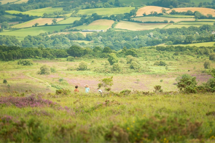
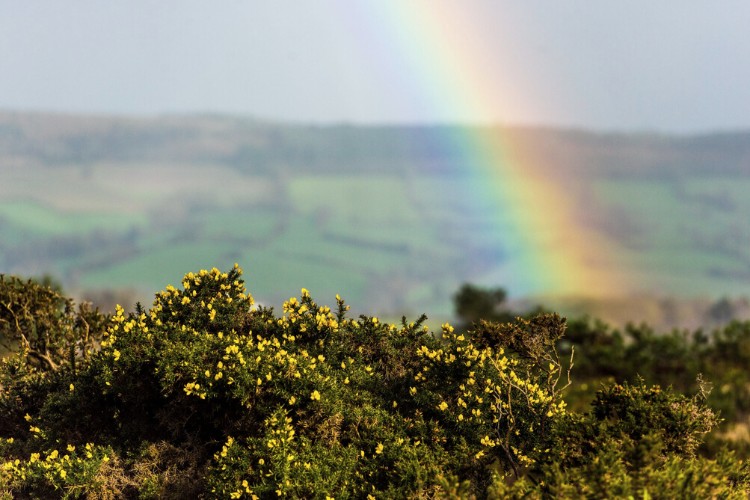
Enjoy a scenic three-mile walk through the ancient Pebblebed Heaths, formed over 240 million years ago.
Start at Aylesbeare Common and enjoy the peaceful surroundings as you make your way to Woodbury Castle. The East Devon Pebblebed Heaths stand out as respected havens for conservation across Europe, celebrated for their unparalleled natural beauty and abundant wildlife.
Additional Information
Additional Information Subtitle
![]()
The whole of the East Devon Way has been waymarked with the foxglove / pink arrow markers to help you find your way.
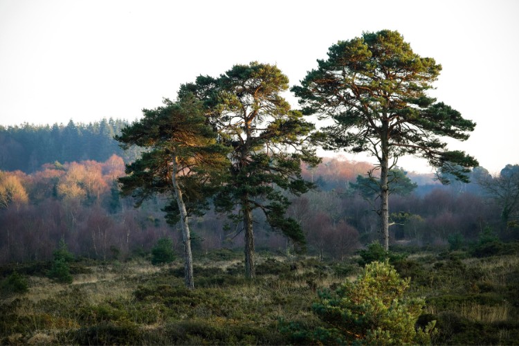
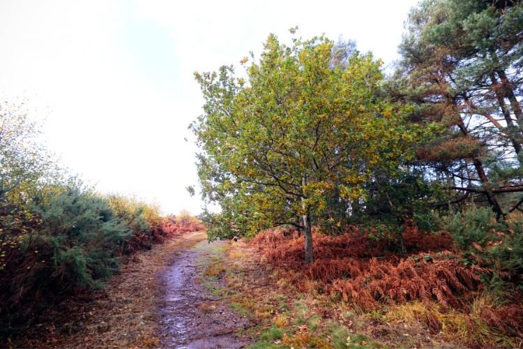
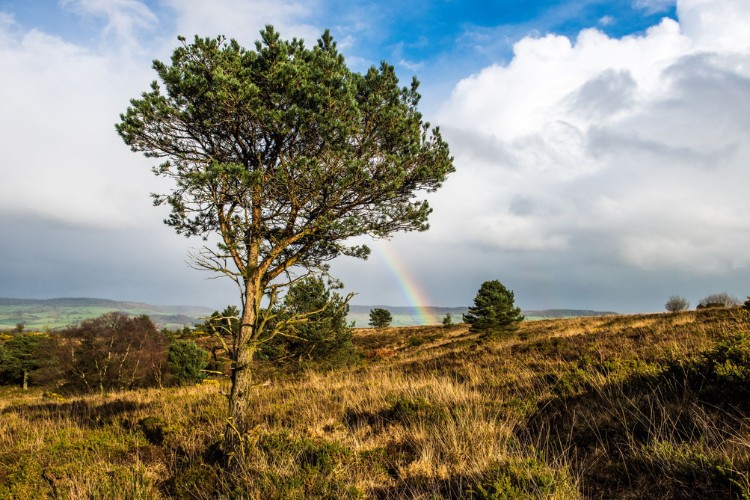
Gallery

Quick view route description:
From Hawkerland Hill car park (also known as Joney’s Cross) head towards the far right corner and take the path leading to the lane.
Cross over the lane and follow the ‘to Public Footpath’ sign and head west, down the track. After 120 yards turn left down the track south, away from the main road.
Follow this wide ‘coach and horses’ track to near Morish Cotley, with farmland in the distance in front of you.
2. The path emerges from the woodland on to the lane. Turn right, with a large white thatched house on your left, heading downhill.
At the bottom, at the small red brick barn, turn left for about 100 yards, past a converted chapel (look through the gates to your left) towards Hawkerland cross roads.
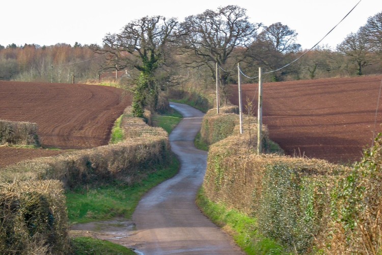
At the bridge over the stream, turn right up the public bridleway, then take the right fork along a pebbly track wide enough for a vehicle, with high banks on either side.
3. At the next fork take the left track uphill to enjoy the wide-open space of the common.
Follow the wide track for nearly 2 miles with gorse bushes on either side.
There are numerous forks and junctions, but in general keep straight ahead, looking out for frequent waymark posts to guide you. Ahead in the distance you will eventually see the main road and a wooded hill which is Woodbury Castle.
On your left are open vistas of the heathland.
4. Keep on the track when it eventually veers left, keeping Woodbury Castle ahead of you.
here are some boardwalks alongside a stretch which can be muddy. As you near the castle, walk alongside it on your right and look out for a waymarker to turn right into the woodlands.
Here you can clearly see the ramparts – high mounds of earth – of the castle (a prehistoric hilltop fort dating back to 500-300BC).
Go immediately left then right into the castle and follow the waymarks which lead you in a horseshoe-shaped curve around the ramparts until a final left turn brings you to the car park.
Explore: Take time to explore the woodland with its moss-covered tree roots and the high ramparts (where the castle walls once were).
Detour: on a clear and sunny day the views are spectacular, on coming out of the woodland turn left at the Pebblebed Heath information board you will soon be able to see towards the Exe Estuary to the right or the sea in Lyme Bay or over to Dartmoor through to Exmoor and the Quantock Hills in Somerset.