This is a pleasant, mainly flat, walk starting in Church Green just west of Farway.
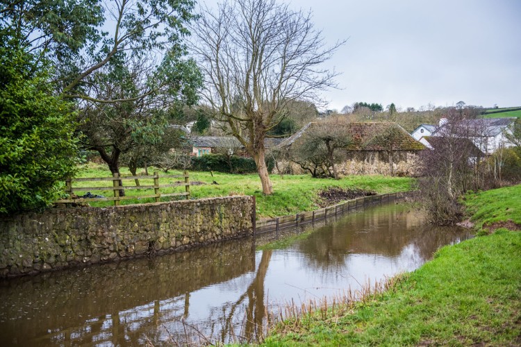
It crosses over the River Coly, leading through Northleigh then along country lanes before walking through fields by the meandering riverbank; ending in the historic market town of Colyton, a perfect town for refreshments.
Additional Information
Additional Information Subtitle
![]()
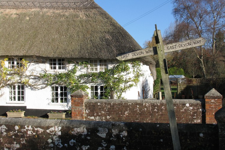
The whole of the East Devon Way has been waymarked with the foxglove/pink arrow markers to help you find your way.
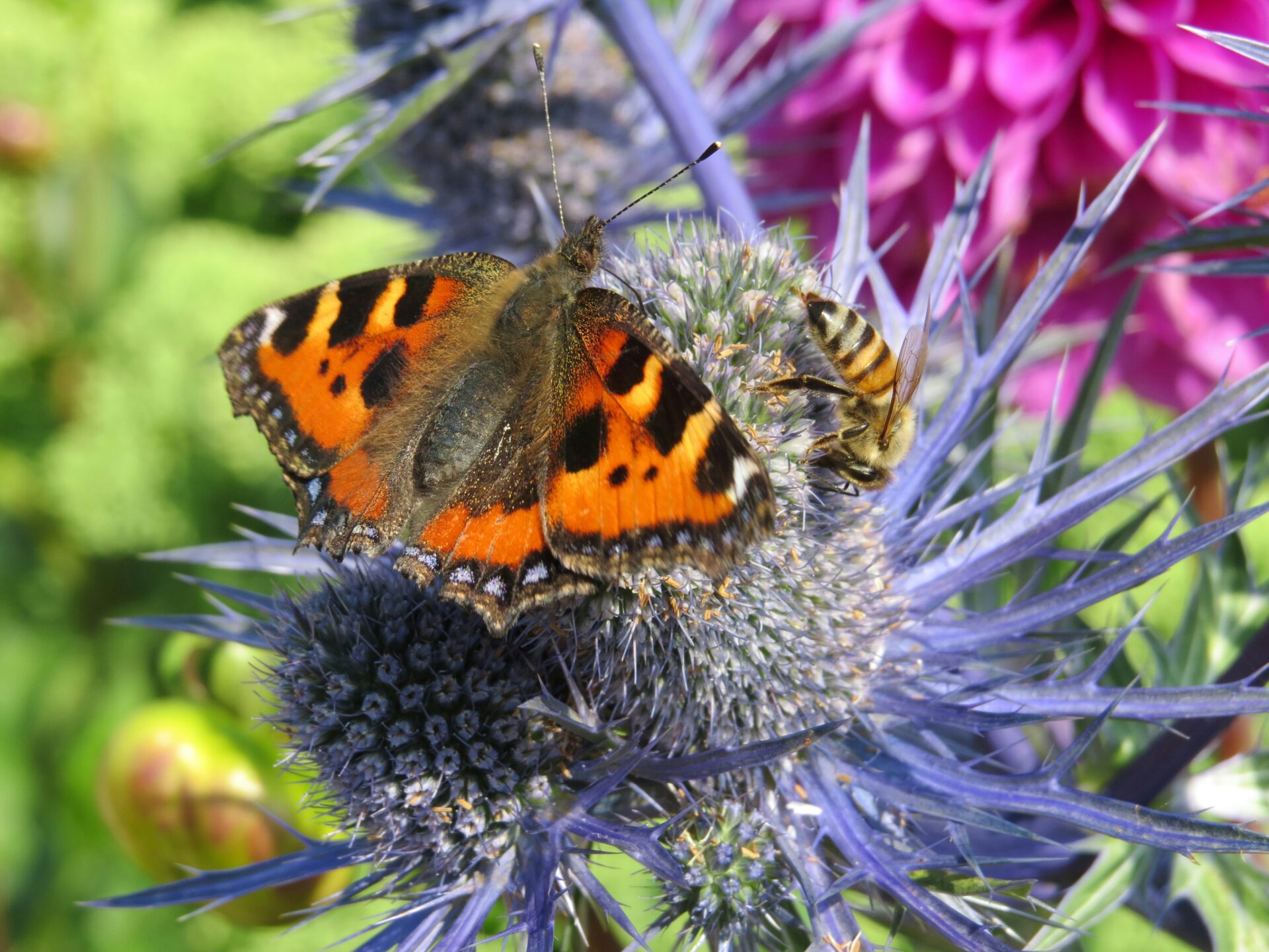
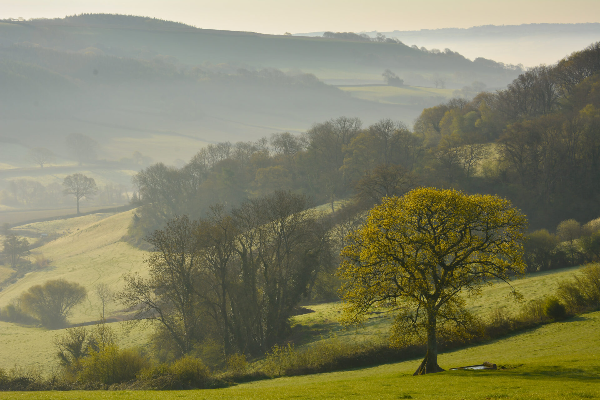
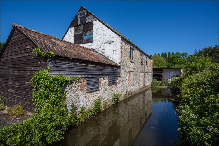
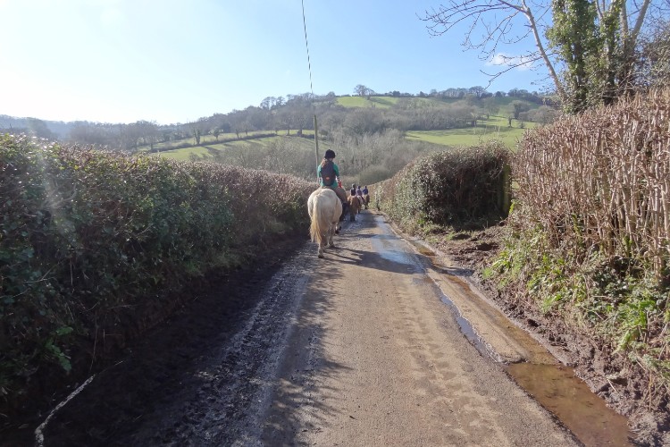
Gallery
Quick view route description:
1. At Church Green village (SY173 964), just west of Farway. Go (S) down the lane directly opposite the church signposted Smallicombe.
Follow down the lane as it curves to the left, take the footbridge over a small stream. Turn left (E) into the field over the stile, then go through the field gate almost opposite to the left.
2. Keep the stream on your left as you go through the field and stick close to the stream.
Through the hedge gap left look out for a thatched cottage, marked Tedbridge on the map.
With the stream on the right, go over a couple more stiles, pass the cottage and head straight across the sloping field up to the right, towards the telegraph poles. Go over the stile at the top, on to the cross-road, where there is an old telephone box.
3. At the cross roads go straight up the lane, following the road sign towards Farway and Northleigh.
Follow the road round to the left through Farway, a pretty Devon village with its thatched cottages.
Further up this lane you will come to a finger post signposted Netherton, turn left towards the ford. Cross over the ford, via the foot bridge, take the lane up towards the very grand Netherton Hall.
4. Turn right past Netherton Hall (SY184 958), follow the lane as it winds round, turn left at the public foot path sign.
Go over a stile leading into a field. Cross over two stiles, follow through the field, across the little footbridge in the middle and go up diagonally towards the houses.
5. After climbing the stile, leave the field at the top and cross diagonally over the little lane, where opposite there is another stile.
Go over it into field. In this field keep the hedge to your left. Further on in front of you look out for three houses, after following the hedge on the left you reach a wooden gate in top right corner.
Then cross the next field until you reach a metal gate on the right, go down a little grassy lane, then turn right along lane into Northleigh. At the public footpath sign turn left (after North House) follow the footpath round to the right which brings you past the church.
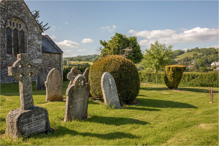
6. Pass Northleigh Church on your left go (N) straight on, then down the lane and at the junction turn right (E) signposted Colyton; the village hall will be to your left.
Go through Northleigh village with its flint walled cottages and past one called Ashen House.
Walk straight along Colyton Road for 1 mile, past Road Pitt Farm (on the map) use the bridge over the stream, take the next right (S) in through a kissing gate into a field (SY216 953) and join the riverside path.
7. The River Coly will be on your right hand side, continue through fields for 1 1/2 miles.
You need to cross several small footbridges across streams and low lying land. There is one at the start of this section and you then turn immediately right keeping the river on the right.
Further on there is the first big footbridge; cross then head straight through the kissing gate, towards Colyton Church. You will pass the tannery, a large warehouse building on the side of the river, Britain’s only remaining traditional oak bark tannery.
At the end of the fields turn right on to the road, crossing over the old Chantry Bridge, up to large wrought iron gates of Colyton House, then turn left up Vicarage Street.
Explore: This is the end of stage 5, take time to explore Colyton with the traditional tram and enjoy some of the tea shops and pubs in this ancient town