Embark on a scenic day hike from Colyton to Lyme Regis, passing by a stunning viaduct, an Iron Age castle, and three rivers along the way.
Enjoy the picturesque journey before reaching the bustling seaside town of Lyme Regis.
Additional Information
Additional Information Subtitle
![]()
The whole of the East Devon Way has been waymarked with the foxglove/pink arrow markers to help you find your way.
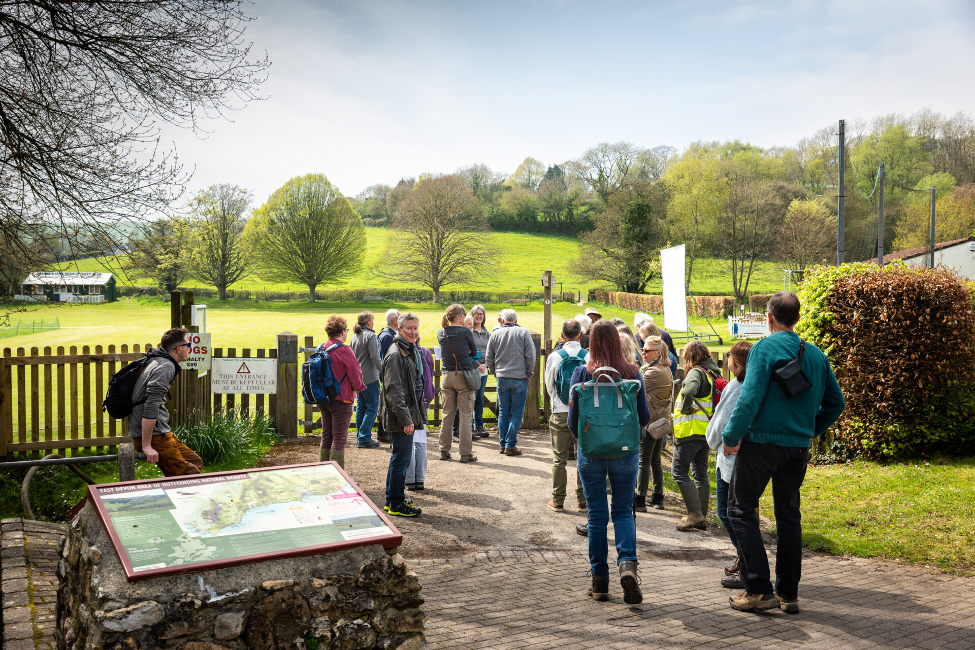
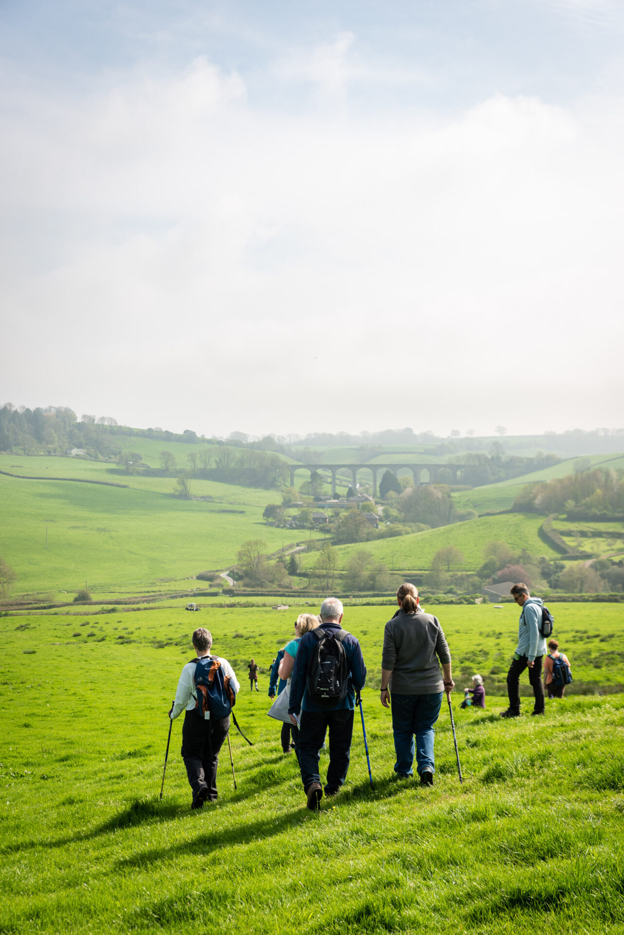
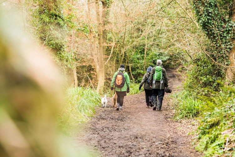
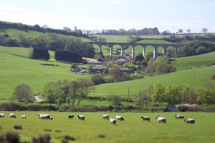
Gallery
Quick view route description:
1. From Colyton car park (SY247 940) turn right down Dolphin Street towards the River Coly and Station Road.
Cross over the road turning right, away from the river, before Ham Bridge. Walk through the workshops, turn left once past the flint wall.
Go through a kissing gate into a field with telegraph poles. The river will be to your left. Go through the metal gate over two railway sleepers, which are acting as a bridge. The river is then on your right, after 200 yards ,at the metal kissing gate, turn left (SE) away from the river. Go across the second field to the corner and take the steps up over the tram tracks.
Once over the tracks go diagonally opposite to your left and over another set of steps and through two fields., keep the hedge on your right. You will hear the sound of water (on the map it is noted sewage works). Head to the bottom right hand corner of this field, cross over the stile.
2. Turn left along Cowhayne Lane for 250 yards.
Then turn right at Lower Cowhayne Farm (SY256 934) between the farm and the open barn.
At the end of the farm track go through a kissing gate. Keep the hedge to your left as you walk straight over the little unobtrusive bridge over the field drain.
In the top left hand corner of the field go over the stile and turn right, keep the field boundary on your right. Keep the River Axe on your right (sometimes close and sometimes a field away) for 1/2 mile as it gently meanders round. Just after, the river is in front of you and where it widens, turn right (E) (SY260 946) towards Nunford Bridge.
3. Take Nunford footbridge (marked on the map), over the River Axe, go through the gate at the entrance to Waterford Lane.
Walk past Waterford Farm on the left. Turn right along Dead Horse Lane for 50 yards then turn left across a couple of fields to Musbury and the A358. Go through the small wooded copse, head towards the tractor track, keeping the hedge on your right, there is a trickle of water at the bottom of the hedge.
The valley runs in front of you and into the distance, the sea is over to your right. There is white house in
front of you in the distance and diagonally to the left is a hamlet, aim between these two.
4. At Musbury crossroads (SY272 946) go straight over the road with the Spar on your left and the Golden Hind Pub on your right.
Continue up the road towards the School and St Michael’s church. Keep the church on your left, go up the incline towards the farm and between some farm buildings.
At the top of this tarmac track turn right, go over the stile off the track and diagonally across the field, keeping the telegraph pole on your left. Aim for the stile in the middle of the hedge line above you. This is the base of Musbury Castle, an Iron Age hill fort. Go up the hill.
Short detour to Musbury Castle:
Go past the second five bar gate, carry on up the hill, then take a very sharp left to be on top of this Iron age hill fort.
See amazing views of the sea on one side and back down to the Golden Hind pub, 155m below.
5. Go up the footpath past the first gate on your right, turn right at the second five bar wooden gate and kissing gate.
Go through the five-bar gate into the wooded coombe, at the end there is another five bar gate and kissing gate on left, with an EDW sign pointing forwards. Go over a stile (SY280 939) and down three steps. Go through the gate and diagonally left (SE) across the field.
6. Turn left along the lane towards Woodlands Farm. The path goes (NE) up the field.
This straight track is the Old Drovers trail, where the farmers used to drive their sheep. Walk through the field with the stream on your right. Go over the little stream up through a five bar gate on to a tarmac road.
Follow the drover’s road as it curves round past Hart Grove Farm and yard. There is a bit of an incline and at the top is a crossroads called Bulmers Cross, turn around to look at the view here.
7. At the crossroads, turn right and walk for 1 mile towards Uplyme.
Go over the little stone bridge (once the old railway line from Axminster to Lyme Regis), turn right over the bridge and immediately left over the stile and up through the field, keeping the hedge on your left. Go through another field and through a five bar gate.
At the top, cross over Trinity HIll Road (SY304 938) on to a bridleway, at the top go through another gate into an open field, go straight across. There are telegraph wires over head.
Reach another gate where the bolt goes into the tree trunk. This is Woodhouse Hill, nearly 180 metres above sea level, go past the bungalows. At the top of the track turn right down Woodhouse lane for nearly 1 mile.
Follow Wadley Hill Road round and down into Uplyme. You will see the sea in the distance. At the telegraph pole on your right turn left (SY322 933) down the road, towards the cricket pitch.
8. As you reach the bottom of the field turn right past the village hall along the B3165.
Almost immediately cross over and take a left, before the Talbot Arms beer garden. Walk down a footpath with some pretty cottages at the end. This path leads you down to a wooded area, still residential; see a glimpse of the River Lym, a lovely meandering river on your right, at this point it has very steep sides.
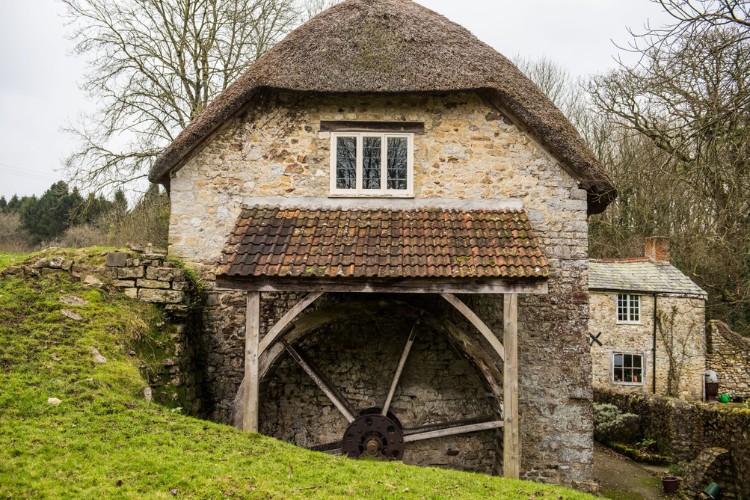
Cross the road, keeping the thatched cottage on your right, take the four steps down towards the River Lym. Turn around to look behind at the most idyllic Devon thatched house. The path goes down to pass an old mill, now residential, with its water wheel on the end wall. Just down over the small field is a footbridge.
This is officially the end of the East Devon Way, but we are less than half a mile from Lyme Regis. Continue to follow this path beside the River Lym all the way to the sea. You can take any path you like through the charming town of Lyme Regis, below is a suggestion that follows the River Lym.
Suggested route to Lyme Regis seafront:
Walk along Windsor Terrace keeping the River Lym on your right with a weir, down Jerico Road (signed as a dead end). The route now follows the Wessex ridgeway signs too.
The River Lym is then on the left. As the Lym bends round you go past pretty cottages and we move away from it only to meet it again after the cottages and go straight over on to the River Side Walk.
This little path has the river either side of a boardwalk going past the Town Old Mill. Take a right into the courtyard of the mill, cross over the river and up some steps up into the car park and you are at Lyme Regis seafront. Explore Lyme Regis and enjoy its many quirky shops and fine tea room and restaurants.