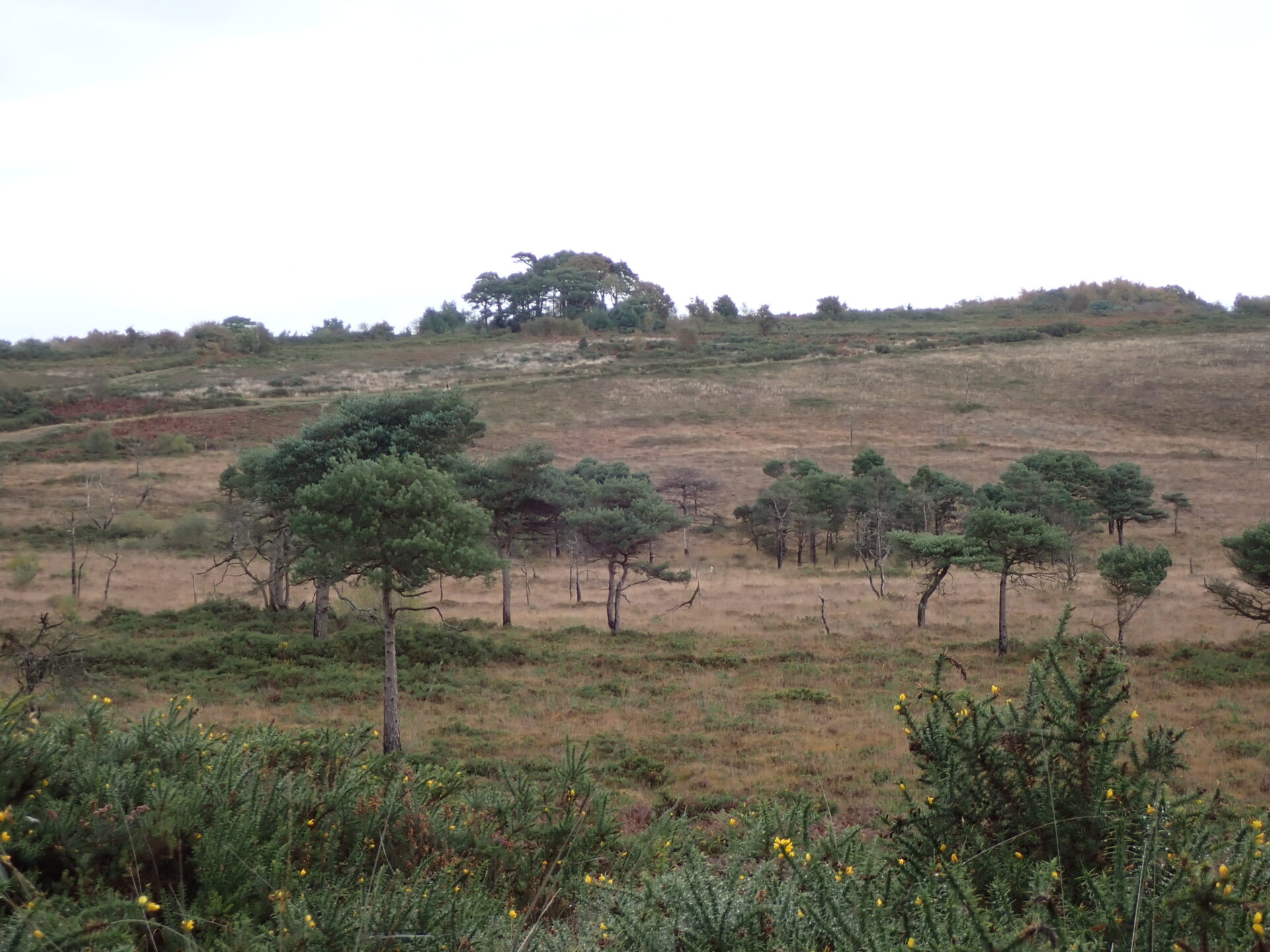
Panoramic Views, Iron Age Hillfort and bountiful wildlife.
Starting from an Iron Age Hillfort, you’ll journey through a variety of habitats including heaths, woods and fields down to the historic Woodbury Village with it’s Grade I listed church of St Swithun before climbing again to enjoy far reaching views to the Exe Estuary.
This walk is route 1 in our series of circular walks featuring the East Devon Way.
Additional Information
A landscape of history
The heathland area was created by Neolithic farmers around 4000 BC when they started clearing the area of deciduous woodland to create pasture for their animals. Further clearance, grazing and burning over the centuries created the heathland.
Woodbury was the final home of William Keble Martin, who wrote the Concise British Flora. Published when the author was 88, the book was the result of a lifetime’s work painting and describing hundreds of plant species and was an immediate bestseller.

Directions
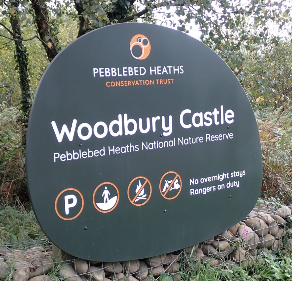
1 - 5. From the car park facing Woodbury Castle earthworks turn right by the signs and follow the waymarked East Devon Way downhill.
2. Where the track bears right, turn left along the path through the trees following the East Devon Way waymarks. The route keeps to the right of the earthworks.
3. On the far side of the trees turn left through a gateway in the bank and then immediately right to a T-junction of tracks. Turn left along a track, signed East Devon Way for approx 200 yards (183 metres).
4. At the T-junction of tracks, follow the track around to the right across the open heath (East Devon Way).
5. Where the track divides after an area of pebbles keep left along the East Devon Way.
6 - 10. Take the next path to the left, leaving the East Devon Way and heading towards the main road.
7. Cross the main road onto a minor road and immediately turn right along the golf club road.
8. As the road turns into the car park, go straight ahead onto a stony track. Cross the entrance to the golf course and follow the track through woodland. At the large gates on the right (Lyndhayne), the track becomes surfaced.
9. Bear left along the road and carry on through Hogsbrook Farm to a road junction.
10. Turn left and follow the road to the next T-junction.
11 - 15. Turn left - signed to Canonwalls.
12. Take the first right and follow the road to a T-junction.
13. Go straight across the road and through the gate onto a footpath signed to Woodbury 1m. Follow the hedge on your left going through a gate, over a ditch board (narrow footbridge) and through a second gate into the second field. Head straight across the field and go over another ditch board and through a gate into the third field.
14. Head straight across the field, over another ditch board and through a wooden kissing gate into the fourth field. Turn immediately left keeping the hedge on your left. At the corner of the field the path swings to the right with the hedge on the left.
15. Follow the hedge until you come to another ditch board and a wooden kissing gate through the hedge on your left. Go through and turn immediately right to follow the hedge on your right.
16 - 20 At the bottom corner of the field go out through a gate on your right to join a road on the edge of Woodbury.
Turn left for 80 yards (73 metres) to reach Cottles Lane on your left.
Refreshment detour: If you want to go into Woodbury village centre keep straight on along the road for approx half a mile (0.8 km). Woodbury is a pleasant village with a mix of modern and more traditional buildings. There are two pubs, a restaurant and several shops.
17. Turn left into Cottles Lane and walk uphill to the T-junction.
18. Turn left along Castle Lane. After approx 100 yards (91 metres) turn right through a gate onto a bridleway opposite a cottage.
19. Follow the bridleway going through the next gate and turning sharply left to follow the path keeping the hedge on your left until you enter a wood.
20. Follow a broad path through the trees and continue uphill on a stony track to reach a cross tracks on the edge of Woodbury Common
21 - 23. Pass a low metal barrier and go diagonally right across the track to a T-junction of tracks.
Turn left and then left again along a bridleway (also signed East Devon Way Link). Follow the stony track uphill.
22. At the next path junction just before another low metal barrier bear right to the main road.
23. TAKE CARE crossing the main road back to the car park and the end of the walk. Alternatively turn right and walk out to the viewpoint to look out over the Exe Estuary
26 - 28. Follow the footpath to a T-junction of footpaths and turn left.
27. Take the first right, walking over the footbridge and out to the main road.
28. There is no pavement here so cross the road, taking care, and turn left to walk in front of the Cannon Inn and up along a minor road in front of a row of cottages. At the end of the road follow the pavement and turn right by the old red phone box – that now contains books – to retrace your steps to the car park.
This route was originally developed by James Baldwin and checked by Ted Swan. It was reviewed and updated in 2025.